EIGHTEENMILE CREEK AREA OF
CONCERN (AOC) REMEDIAL ACTION PLAN
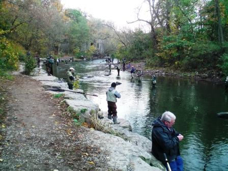
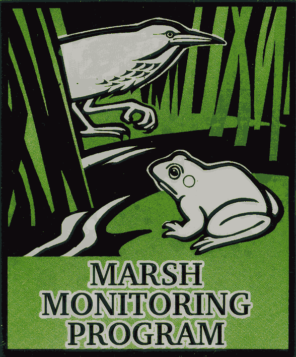
Degradation of Benthos BUI Removal
Recent surveys
have found that benthic macroinvertebrate communities and toxicity
testing in Eighteenmile Creek AOC are comparable or superior to
other streams of WNY. After a comprehensive review of this BUI,
NCSWCD and NYS DEC are
recommending this BUI for removal. A report has been written to explain why
removal is appropriate. The 30-day public comment period will take
place from June 30th through July 30th. A virtual public meeting will
be held with the details below. Any comments can be sent to
eighteenmilerap@gmail.com.
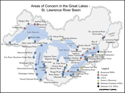
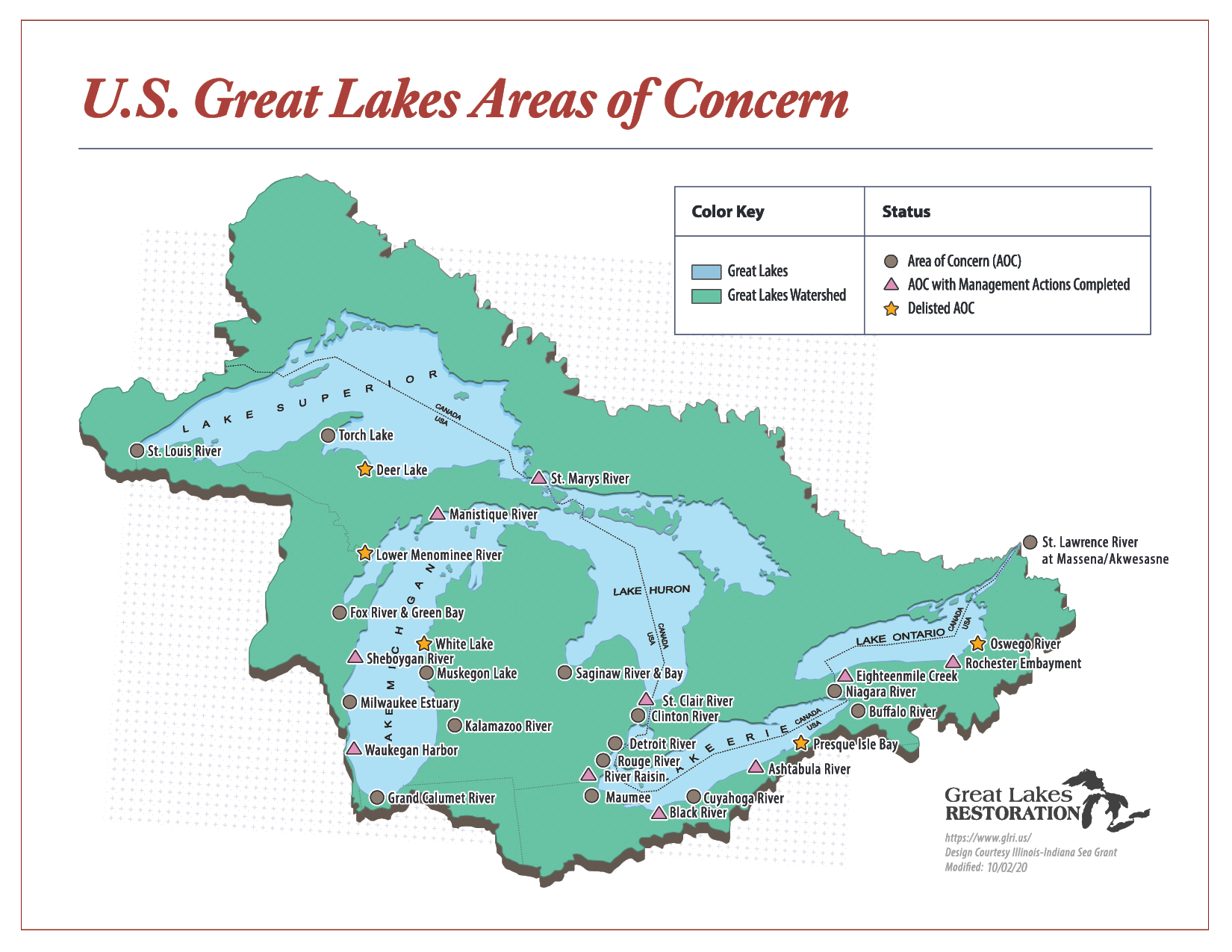
Eighteenmile Creek is one of the 43
Area of Concern (AOC) designated by the international Joint
Commission (IJC). Of the 43 Area of Concern, 26 are entirely within
the United States, 12 are entirely within Canada, and 5 are shared
by both nations. These AOCs have one or more Beneficial Use
Impairments (BUI) that are usually caused by the presence of
contaminated sites, and degraded habitat. The development and
implementation of Remedial Action Plans will restore and protect the
environmental quality of the AOC and the Great Lakes. From 2018
through 2020, the BUI removal criteria was updated.
Use this document to see the new removal criteria and rationale.
Eighteenmile Creek has 5
Beneficial Use Impairments
-Restrictions of Fish and Wildlife
Consumption
-Degradation of Fish and Wildlife
PopulationsRemoved 2024
-Bird or Animal Deformities or
Reproduction Problems
-Degradation of Benthos
-Restrictions on Dredging
ActivitiesRemoved 2020
Eighteenmile Creek is now a
Federal Superfund Site and listed on the National Priorities List (NPL).
The Environmental Protection Agency
(EPA) has come up with four operable units
Operable Unit 1 (OU1):
Acquire contaminated residential properties in the Creek Corridor
and demolition of the former Flintkote Building.
Complete!
Operable Unit 2 (OU2):
Remediate contaminated Industrial and Commercial/Industrial
properties in the Creek Corridor.
In Progress (Remedial Action Started).
Operable Unit 3 (OU3):
Remediate contaminated sediment in the creek from Lockport to the
creek discharge at Lake Ontario.
In Progress (In Remedial Design).
Operable Unit 4 (OU4):
Remediate contaminated residential sediment east of Operable Unit 2.
In Progress (Remedial Action Started)
The amount of data available for the AOC is
enormous and almost impossible to disseminate without a tool like a mapping service.
If you would like to see a map of previous sampling locations in
your area, please contact our office.
Non-Discrimination Statement
"The U.S. Department of Agriculture (USDA) prohibits discrimination in all its
programs and activities on the basis of race, color, national origin, age,
disability, and where applicable, sex, marital status, familial status, parental
status,
religion, sexual orientation, genetic information, political beliefs,
reprisal, or because all or part of an individual's income is derived from any
public assistance program. (Not all prohibited bases apply to all programs.)
Persons with disabilities who require alternative means for communication of
program information (Braille, large print, audiotape, etc.) should contact
USDA's TARGET Center at (202) 720-2600 (voice and TDD). To file a complaint of
discrimination write to USDA, Director, Office of Civil Rights, 1400
Independence Avenue, S.W., Washington, D.C. 20250-9410 or call (800) 795-3272
(voice) or (202) 720-6382 (TDD). USDA is an equal opportunity provider and
employer."